
I originally signed up for this race as a long, very long training effort ahead of my Tahoe 200 adventure coming up in June. However, three weeks before the race, I decided to actually taper (which is almost never do for anything). I significantly dialed back the distance while keeping the effort the same, which had been low HR training for the most part anyway. I decided to actually set an ambitious A goal. I even decided to share this goal with some close running friends, because everyone knows it ain't a real A goal unless there is some accountability attached to it, even if it is just the knowledge of having to fess up to your buddies when you don't hit that ambitious goal.

While finishing a 100 miler at any speed is ALWAYS an accomplishment, after having done that a few times it helps to add a different kind of motivation to the mix. For me, that was shooting for the course record. It wasn't about winning the race, I just wanted to set an aggressive time goal at the course record established during last year's first running of the event seemed like a more than a little challenging goal, as the results would clearly show, but more about that later.

While I have completed most of my 100 milers without the help of crew or pacers, it is always extremely helpful and way more fun to have support while you are out there struggling to accomplish your goal. This time around, I decided a crew would be essential to have any chance at meeting the challenge I set before myself. Luckily, my wife Anya stepped in once more as crew chief and my good friend Nick Schuster was willing and able to jump in as crew and pacer on very short notice. Huge shoutout to his family, in particular, for letting him miss much of their camping trip just to support me.

I arrived in Blue Ridge, Georgia, the packet pickup and start location for the 2022 Endurance Hunter 100 Miler, around 3PM with an hour to spare before packet pickup officially opened. That gave me time to explore this little town that I had never visited previously. I grabbed a coffee at a local bakery, browsed a vintage bookstore with my buddy Jeff Morgan, who was running the event and had already arrived as well, and finished up with checking out the Blue Ridge Scenic Railway that operated out of this town and takes passengers along a 4 hour 26 mile roundtrip journey along the Toccoa River. This ride is definitely on my to do list for the future. For now, it there was only enough time for a quick pic before I headed back to packet pickup to pick up my race bib and shirt.

I chatted briefly with a few fellow runners before making the 45 minute drive to my campground at Fort Mountain State Park. I had driven our camper van while my wife had to work late, so she took our 4Runner straight to the campground, which allowed her to use a more capable vehicle while chasing me through the mountains on (sometimes) sketchy, curvy and narrow dirt roads. We both arrived at our campground around the same time and while she was kind enough to prep our obligatory pre race pasta dinner, I finalized prepping my gear for the next day. Temps in the low 30s for most of the day meant possibly carrying more layers for warmth. Aside from the mandatory emergency blanket I carried extra gloves, buff and my trusty Patagonia Houdini windbreaker. I decided not to use drop bags and instead rely exclusively on my crew to meet me at the designated spots along the course. I had extra clothes, shoes, bottles and nutrition zip-locked and labeled for easy crew access to minimize my time in the various checkpoints. By 8PM, I attempted to go to sleep to get as much rest as possible prior to the 7AM race start the next morning. That proved to be challenging, but having anticipated a restless night before the race, I had made sure I got plenty of sleep the week leading up to the race. Whether that actually works or not, it gave me the confidence and peace of mind not to worry about lack of sleep.

I set the alarm for 4:30AM the next morning, but I was up by 4AM, plenty of time for some pour-over coffee before making the 45 minute drive back to the starting line. We would leave the camper van at the campground, so Anya would crew me out of our 4Runner throughout the duration of the race. The race course would actually have us running 20+ miles inside the state park between miles 70-90 during this point to point event that starts in downtown Blue Ridge and finishes just outside Chatsworth taking runners on a 105 mile journey (vs. 94 miles last year) along retired railroad tracks, the Benton MacKaye Trail, the Pinhoti Trail and aforementioned Fort Mountain State Park all while climbing more than 20,000 feet.

While the race field of runners was small, the energy at the start was palpable. We had a great group of 4 runners from Huntsville, Jerry, Paul, Jeff and I, toeing the line for this adventure and while the weather forecast looked ominous for the duration of the race, we were all just thankful that it wouldn't be 80+ degrees. As it turned out, we ended up with many hours of snow flurries and more than 24 hours of temperatures in the low 30s. All that was left to do was to get going and so we did, at 7AM sharp.

After running through the still sleepy downtown Blue Ridge for about half a mile, we quickly dropped onto 2 miles of abandoned railroad tracks. This was a new experience for me for sure and it made for a challenging cadence and razor sharp focus. But with all that focus, I still managed to take a wrong turn off the tracks after just a mile along with the lead group of 3 runners. Now I have the answer to whether it is possible to take a wrong turn off a straight path and proving once again that playing "follow the leader" is a bad idea if you want to make it to the finish line of an ultra. Better approach "Know Thy Race Course!".

Once we finally left the railroad tracks, we started to climb continually until we reached the first of only 9 aid stations for the course at mile 8ish. I was clearly ahead of my race schedule as my wife struggled just slightly to get my bottles filled and exchanged. I grabbed my nutrition for the next section (3 Spring Energy gels) and continued on. We encountered the first of more than 20 creek and river crossings as we left this aid station. Apparently, some runners opted to take off their shoes, which may sound like a great idea...until you realize you have 20 more creeks to cross, so you should probably just accept that your feet will stay wet for the next 24-36 hours. It's part of what makes trail running what it is, be it creeks, rivers, snow, hail, ice or a crap ton of blowdowns that nature throws at you. Speaking of blowdowns, the RD pretty much assured us before the race even started that the course record would not fall today. Apparently, the 10 mile section between aid stations 3 and 4 had literally 100s of blowdowns, making this section extremely slow and cumbersome to cover. He was not exaggerating at all!

Pretty much from the start, I settled in with two other runners, a 100K runner and a fellow 100 miler, who had run the inaugural version of this race last year. He reiterated the problems many 100 mile ultras often experience in their first year, but we where hopeful that most of these issues raised by runners had been addressed and resolved for this year's edition and for the most aprt that was absolutely true. The aid stations were well stocked for the most part, with the only exception being Mulberry Gap AS, but that was due to trstrictions out on the race organizers last minute by the owners of the MTB resort. The RD already confirmed that this issue would be resolved by moving the AS to the actual Pinhoti trail head at Murky Gap, which would also eliminate an out and back to the Mulberry Gap resort.

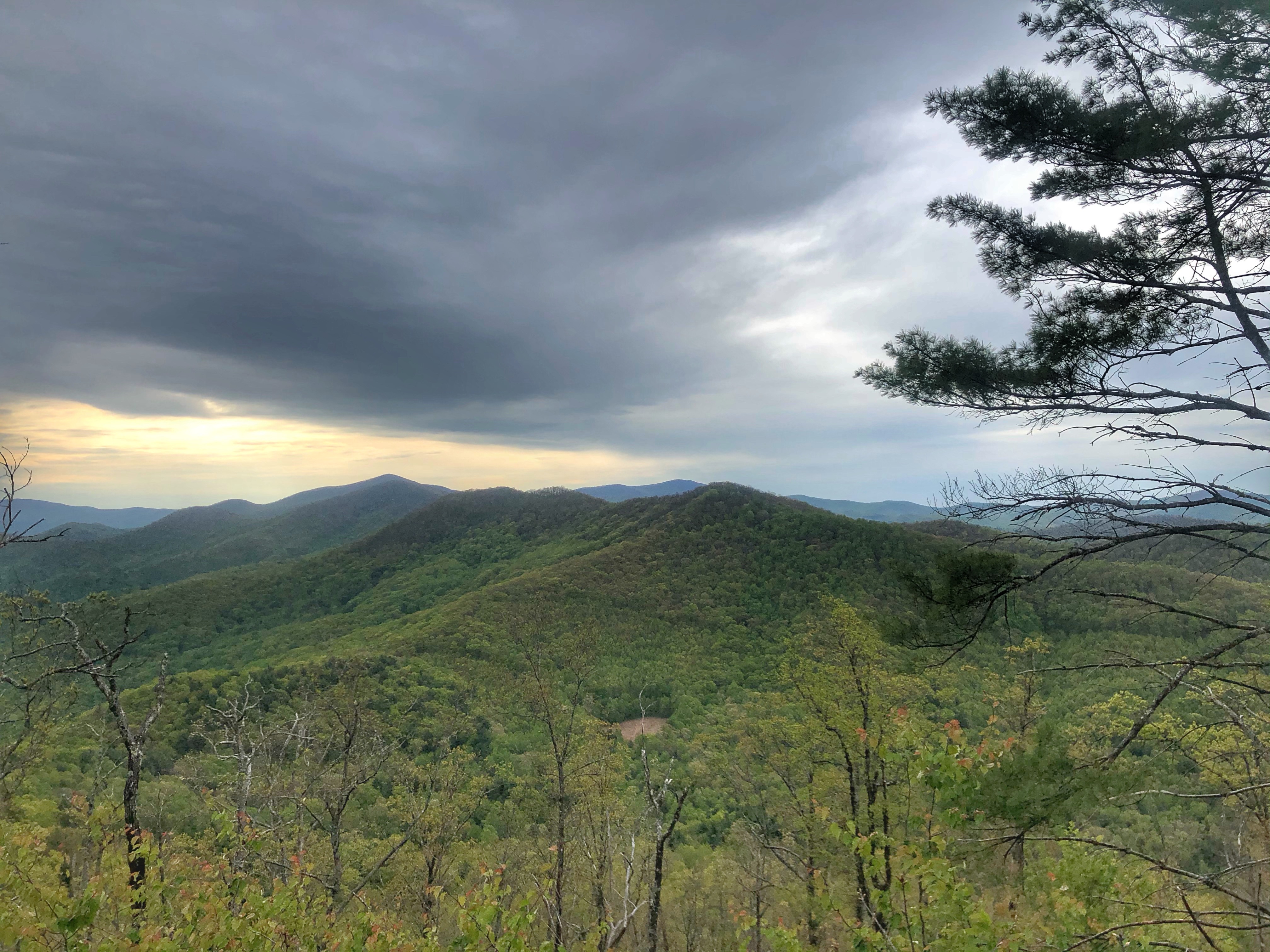
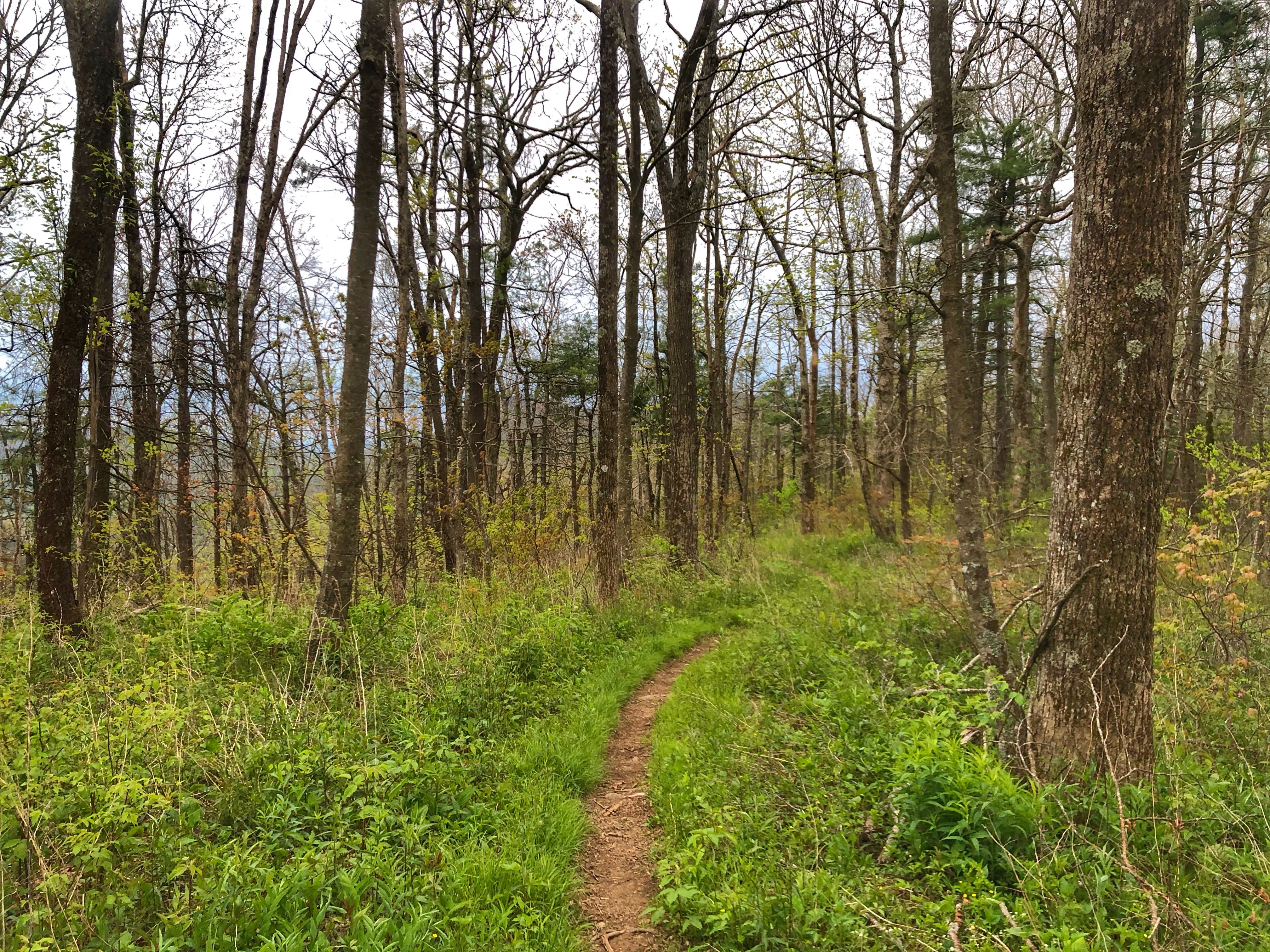
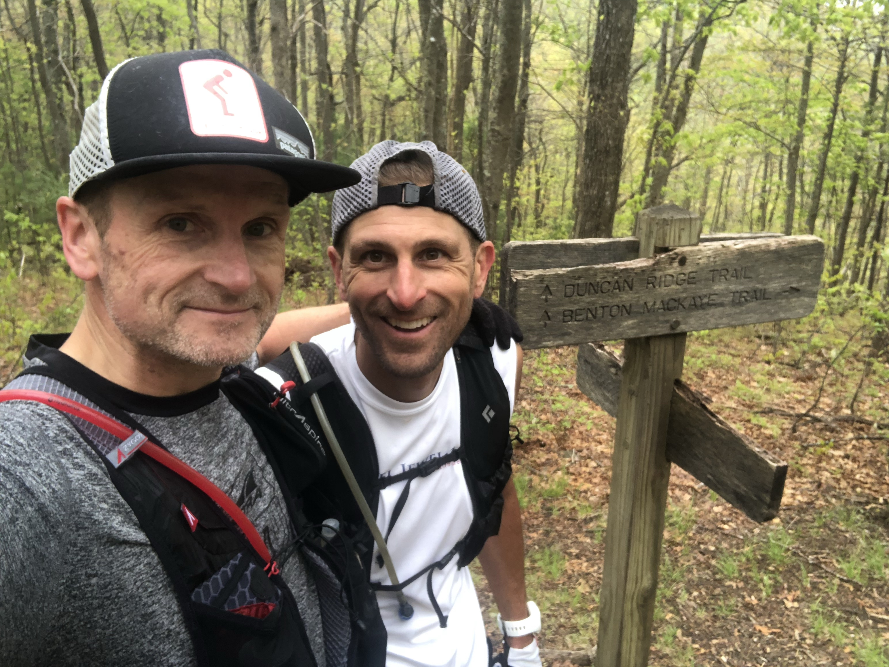
The most beautiful section of the race course for me personally as the Benton MacKaye Trail section offering runners lots of amazing single track trails and some spectacular views off to the side as we climbed and descended on this trail, all while being covered in s light dusting of snow. Eventually, we would leave the Benton Mackaye Trail and enter the Pinhoti Trail at its northern terminus. As mentioned earlier, due to the remoteness of some of these trail sections, runners had to be self sufficient for 10-15 miles with quite a few half marathon distance stretches. Cooler temps definitely ensured that runners didn't have to carry too much fluids, but on a hot day I can see this being even more challenging for some runners. The longer stretched did ensure, however, that I didn't waste a lot of time in aid stations and when there was an aid station, I moved through with purpose, largely due to the assistance of my awesome crew. They were ready for me every single time, providing me with the fuel I needed and even allowing em to test some nutrition ahead of Tahoe 200 (ie mashed potatoes with extra salt and white rice with liquid aminos). The latter proved to be difficult to heat up, so still some more research to be done. I may opt for pre-made cold rice balls, instead, using liquid aminos as I consume them.

I pretty much partnered up with Andrew "Andy" Harvey and we ran in 2nd and 3rd place for much of the first half of the race until about mile 55, when I hit a low point and had to let him go. This low point saw me moving extremely slow through the early and later hours of the night until just before sunrise, when aches subsided and my energy returned for the final 20 miles, much to the credit of my pacer Nick, who had jumped in to keep me company AND to keep me on course through the most challenging part of the course at Fort Mountain SP. Some navigational challenges, the late hours of the day and the vertical gain made this the most difficult part of the course for me personally. Once we completed this section and rolled into the second to last aid station around mile 92, Nick said goodbye. After this, I wouldn't see my wife and crew chief Anya until the finish, but I was ready. There was a significant downhill section out of the park on the Pinhoti connector trail towards the final aid station and I was ready to open up a little. Daylight usually provides some additional energy as well.

What I hadn;t expected was the miles we still had to cover. The course ended up rather long, which was quite unexpected, but my wife didn't let me wallow in self pity very long, instead telling me that fourth place wasn't far behind and to get on with it. I heeded her advise::-) In fact, I probably had some of the best running over the final 13 miles, shuffling uphill with the help of my trekking poles and bombing downhill.

Note to future runners: While the course profile shows a 13 mile descent to the finish, there are plenty of uphills in there that are not to be underestimated. When I finally spotted the bottom of the final descent to the finish line, I could hear my wife and the familiar sound of the cowbell she had been using all day...and night:-) While I had missed my A goal, my crew made sure that I did not give up and instead continue to fight for that overall podium spot. I managed to hold on to third overall with a large gap to fourth overall. Apparently, I missed a lot of fun 2 hours ahead as veteran Andrew Harvey and 18 year old newcomer Owen Thornton battled it out for first place, sprinting to the finish with Andy taking the win by a mere 10 seconds! Owen had led most of his first go at the 100 mile distance. Both runners put down impressive performances. Thanks to the RD and the entire race crew for putting on an exciting and adventurous 100 miler on some challenging East coast terrain. With some minor tweaks, this will be an event that is going to grow quickly. If you need an endorsement, I'm already considering to run it again next year, but sssh...don't tell my wife. She's still recovering from crewing me:-)