The pandemic struck and one by one my entire 2020 race calendar disappeared in front of my eyes. Nearly every event registration was rolled over to next year, so at least I wasn't going to lose much in terms of registration fees. So, instead, I started signing up for a bunch of virtual races, anything to keep my mind off the big adventures that had been cancelled or postponed. Even self-supported solo adventure runs had to be cancelled due to the large scale park and trail closures.
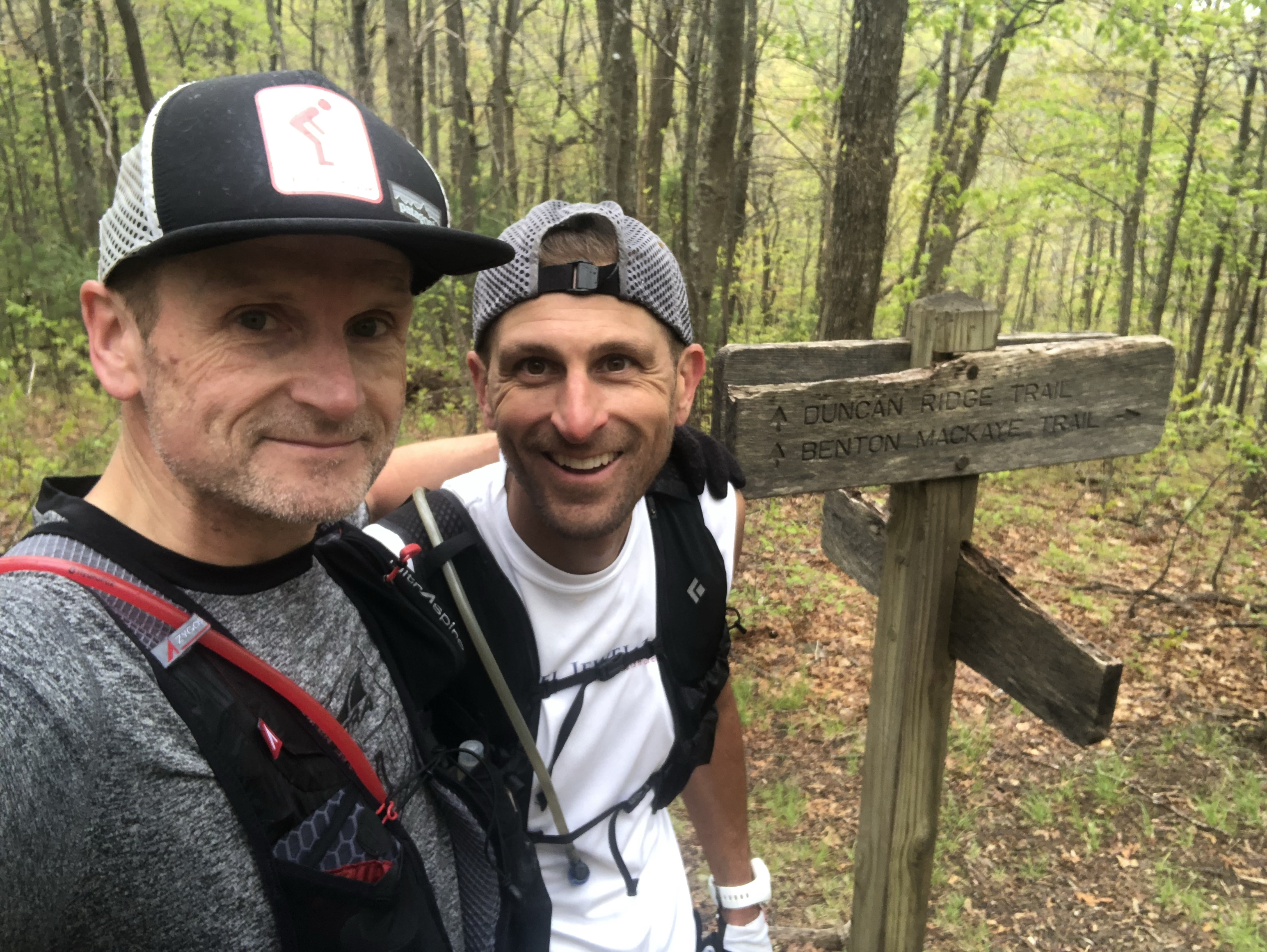
So when the state of Georgia lifted its stay at home orders and opened up its trail systems and my buddy and fellow ultrarunner Ryan M. hit me up to see if I wanted to give the Georgia Loop a go, I was all in. The Georgia Loop is considered the toughest trail run in Georgia, connecting the Appalachian Trail, the Duncan Ridge Trail and the Benton MacKaye for a 57 mile loop with over 14,000' of vertical gain. I took a day off from work, loaded up my camper van and headed for the north Georgia Mountains.
After a last minute meet up location change (the Woody Gap trailhead was still closed), Ryan told me to head to the Wolf Pen Gap trailhead, instead. I arrived there just before sunset, just in time to set up camp. Ryan had been there all day. We decided on our plan for the morning, had a couple of cold ones and called it a night. After some quality sleep, I got up around 5:30AM brewed some coffee and got myself ready for our start at daybreak.
At 6:30AM, Ryan and I started our 57 mile adventure in a counter clockwise direction, basically heading straight up Coosa Bald on the Duncan Ridge Trail. We were doing this run entirely self-supported, carrying all food and only stashing one gallon of water at 21 miles in. For nutrition, I carried about 12 vegan gels from Spring Energy as well as 2 "accidentally" vegan Clif bars. For fluids, I had filled up two soft flasks with water and Nuun electrolytes. I also carried a Katadyn BeFree water filter bottle along with a tube of Nuun Kona Cola electrolyte tablets, my favorite electrolyte drink flavor, which Nuun re-released for a limited time. I carried all of this along with trekking poles, my Garmin inReach mini tracker, an emergency blanket and my Patagonia Houdini windbreaker in my UltrAspire Zygos 4.0. I also carried my iPhone and a GoPro for both navigation assistance (Guthook and Gaia GPS app) and photos and video, should the opportunity arise. While I managed to snap some pics, video not so much.
Ryan and I started at a conservative pace with the goal to hike every climb and just run the flats and downhills at a relaxed pace. We were here for the adventure, not to break any speed records. Of course, I didn't even make it to the top of the first false summit before realizing that I may have forgotten to lock my van. So I turned around, headed back to the van, double-checked the locks and climbed back up to where Ryan was patiently waiting.
From this point on, everything really went on pretty flawlessly. Just a short 7 miles into our run, I spotted out first (and only) black bear. Fortunately, the bear was even more startled than me as it darted off into the woods at record speed. Unfortunately, Ryan missed all of it, spending the next couple of hours hoping to catch a glimpse of a bear above or below our trail. No such luck. We had to run about 15 miles total on the Duncan Ridge Trail and even these first miles reiterated why this is considered Georgia's toughest run. Things would get slightly more difficult from here.
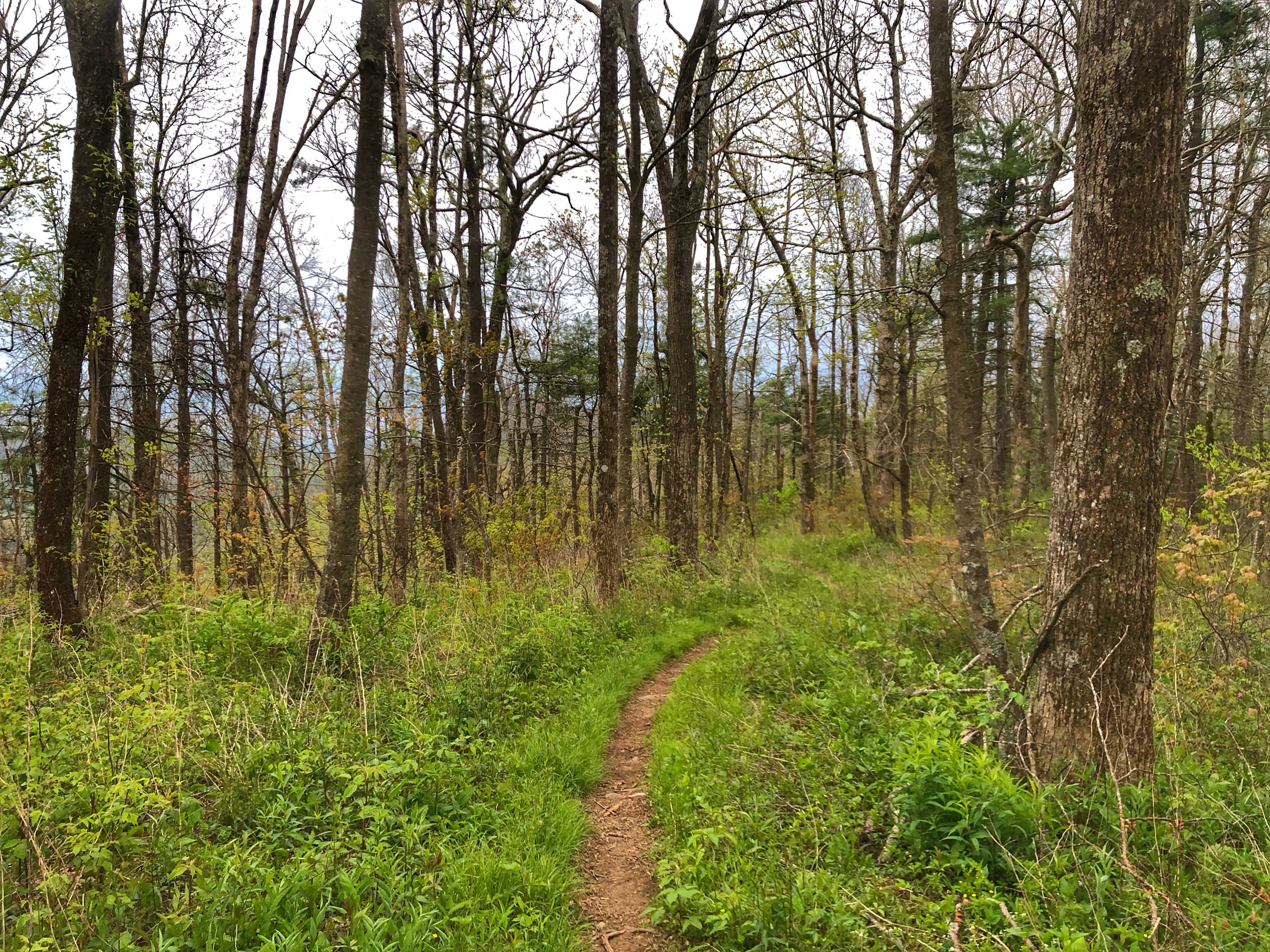
While the Duncan Ridge Trail arguably contains the toughest trail section in the entire Southeast, the so-called Dragon Spine, it sure felt like the Benton MacKaye Trail did not provide any relief. It was probably mainly related to our legs already having covered 15 miles of steep terrain, but the BMT is nothing to sneeze at. I only recall "easy" section during our entire run. Everything else was pretty much up or down, sometimes pretty technical, but never really flat or easy.
Water was pretty sparse on the DRT and the BMT did not fare much better, but I never ran dry for more than a mile or so. We knew the AT would provide more regular water sources, especially since there had been some decent rain in the days leading up to our adventure run. Once we passed the 50K mark and entered the AT, I was starting to play close attention to water sources. The sky had been overcast for most of the day, but every once in a while the sun would peek through, immediately causing an increase in my sweat rate. Overall, we had gotten pretty lucky with our weather. Temps were mostly mild and an initial drizzle of rain never turned to much more than that, even though it hung around for a couple of hours.
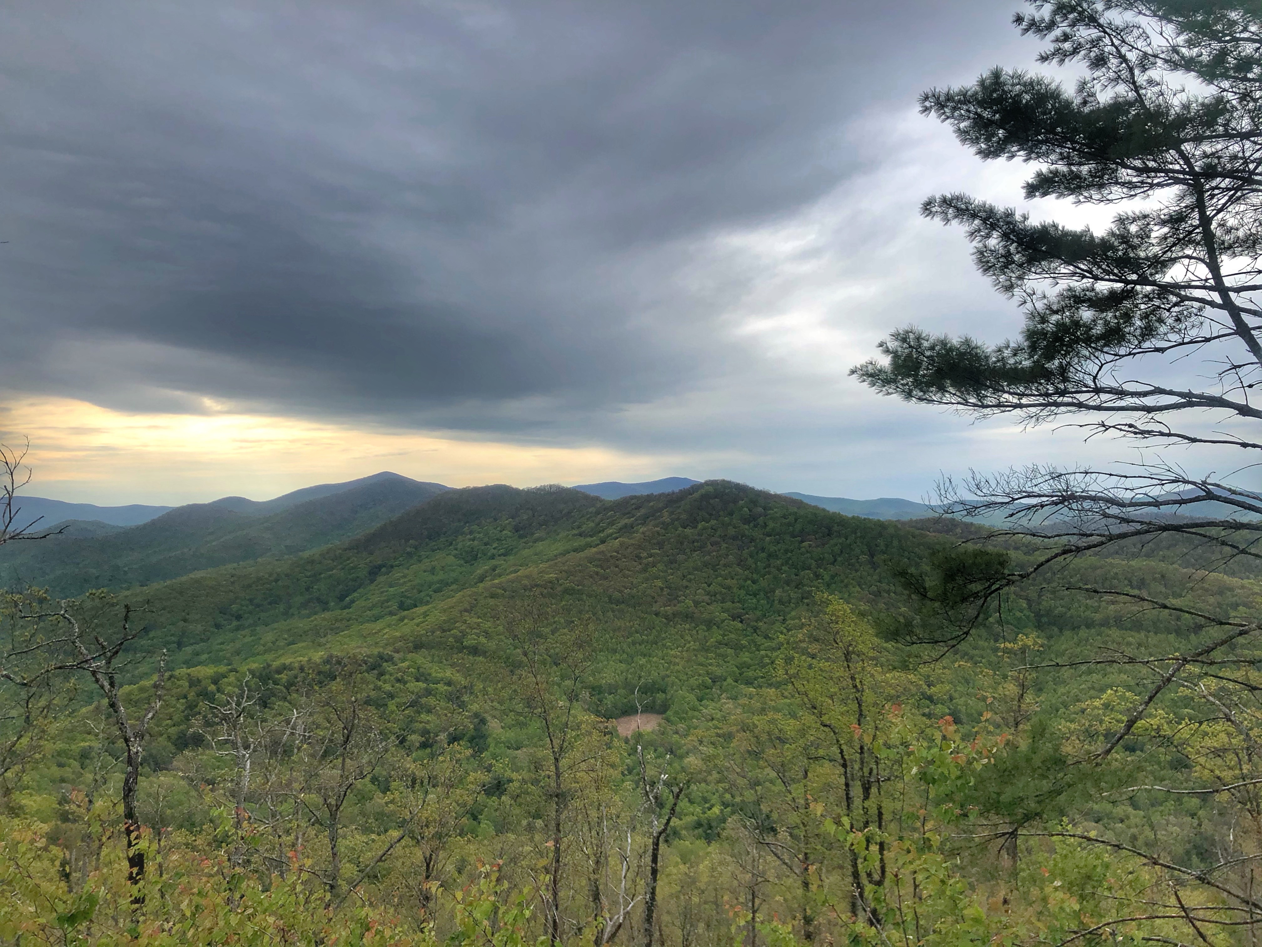
Every once in a while, the tree canopy would open up and expose spectacular views of the surrounding mountain range. With all the rain in the preceding months, the trail had also never been greener. The area was lush green more resembling the PNW than the Southeast. As the day started to warm up, I needed more and more water an my appetite to eat subsided. Before long, I would empty my bottles before reaching the next water source. At this point, I had switched from the Gaia app to the Guthook app that had the Southern AT section loaded and was a great resource to locate natural water sources along the AT.
Most of the time, Ryan would lead the way and I would follow. He was moving a bit quicker than me and I was acutely aware not to start to push outside my comfort zone. Clearly, I didn't stick to this plan closely enough. With about 10 miles to go and at the top of yet another climb, the efforts of the day had finally gotten the better of me. Maybe it was the lack of food intake, maybe I just wasn't as fit as I thought or maybe it was just the way ultras (even self-supported ones) sometimes play out. I had the proverbial blow up. Legs shot feeling extreme exhaustion, I needed to take a breather. We stopped for a snack break and I forced myself to eat some cookies in hopes that I was just low on sugar or something. I perked up just a little, but I knew the only way to finish this thing was to back way way off. Ryan would have been able to keep pushing but I was thankful that we stayed together. It was a slow slog from here on out.
My blowup also meant that we'd need to pull our headlamps out of our packs after all. Just as well as we had to do the final miles to complete the loop back on the Duncan Ridge Trail and this was the worst section by far. Narrow, rocky and steep. I was elated when Ryan finally recognized a road sign in the darkness, indicating that we had finally completed the GA Loop. Even walking the final 10 miles of this adventure, we still managed a respectable time of just over 15 hours. Next up, shower, beer, food and sleep, in that order. Due to poor planning on my part (i.e. lack of testing things out in my camper beforehand) I only enjoyed the beer and sleep, but that was just fine. I had completed my first "real" trail adventure since Covid started.
 |
| Add caption |


0 $type={blogger}:
Post a Comment